SXblue Platinum
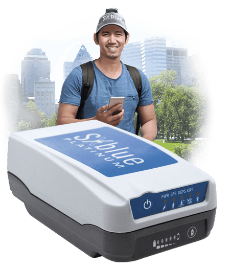
A survey-grade, multi-frequency GNSS receiver for land planning, forestry, geology and mining. It brings centimetre accuracy to the phone, tablet or data collector you already use, on Apple, Android or Windows, with any constellation and the correction service that suits the job: SBAS, worldwide ATLAS by L-band, or local RTK. Options and subscriptions can be activated remotely, in the field, for as long as you need them.
Choose your kit
| Kit | For |
|---|---|
| Basic kit | GIS mapping; add multi-GNSS, multi-frequency and RTK when you need them |
| RTK kit | centimetre work with an RTK network or base station |
| Survey kit | everything in the RTK kit, with a survey-grade antenna (L1, L2, L5, L-band) |
Activation codes, bought now or later: Multi-GNSS, Multi-frequency, RTK, and 10 Hz or 20 Hz position output.
In the box
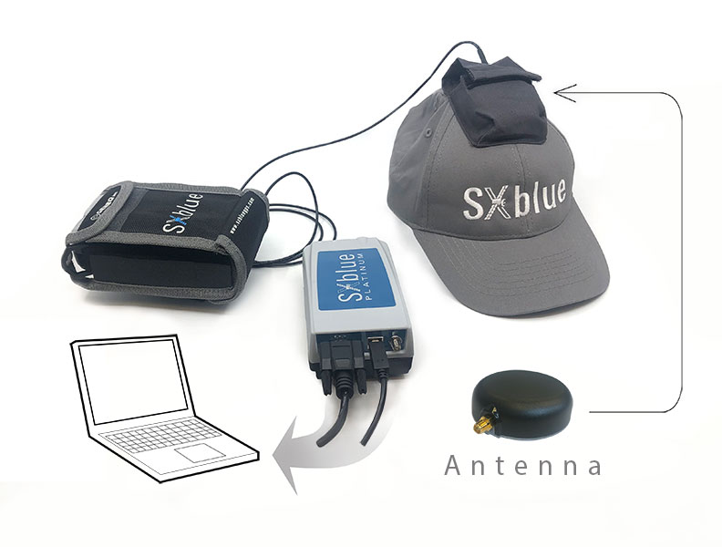
6000 mAh battery and 8.4 V Li-ion charger, RS-232 and USB cables, three antenna cables (0.3 m, 1.0 m, 1.5 m), pole cradle, antenna mounting plate, GPS hat for the antenna, hard shell case and nylon carrying case. Charge the battery for 4 hours before first use.
Works with your software
ArcGIS Field Maps, QuickCapture and Survey123, QField, Mapit GIS and most other mobile GIS and survey apps, on iPhone and iPad as well as Android and Windows.

Questions
Does it work with ATLAS? Yes. With an ATLAS activation the Platinum reaches up to 10 cm accuracy anywhere, without a local RTK network. See ATLAS corrections.
Can I use it on a pole? Yes; ask for the pole kit in your quote.
Brochures, manuals, the SXblue Toolbox and firmware are on the manufacturer's Platinum page.